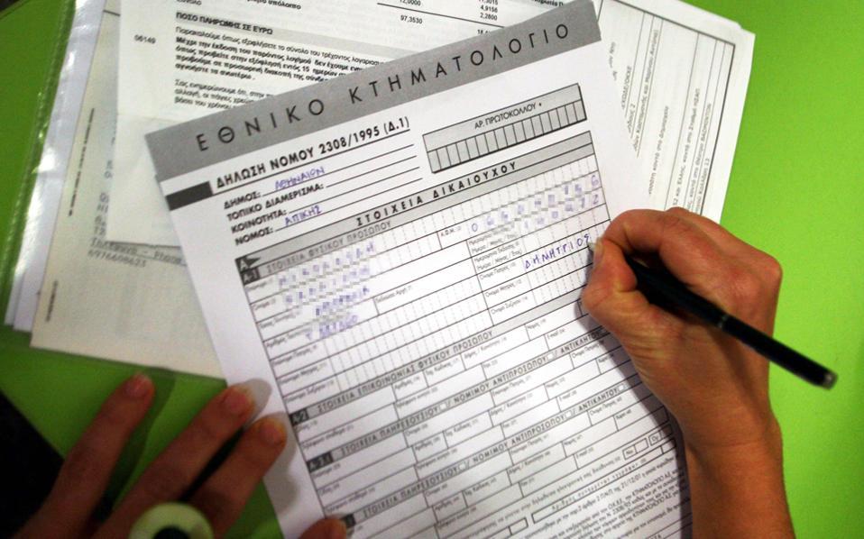
Land registry services
We fully cover all preliminary realty application on the land registry as well as assembling and submitting the necessary documents to the relevant registration office. Additionally, in case of objection, we cover all appropriate plotting surveys regarding any rectification claims.
- Outdoor plotting depiction of implemented boundaries as well as the delimitation of declaration and farming.
- Outdoor plotting depiction of buildings declared in the land registry.
- Placing the title plan over the depicted boundaries and calculating peak coordinates.
- Cross-referencing the measured boundaries against the false registry, as well as producing a detailed report of the necessary corrections (in those cases, a rectification is required).
- Submitting a final diagram on the National Land Registry system EGSA87, according to the specifications of the relevant legislation.